Population
Census villages (RGPH-5)
Method
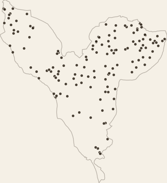
Population from the ANSD census (RGPH-5 2023 and RGPH 2013), village by village. The census carries no coordinates: each village is placed on a named point in the same commune (accessibility atlas, portal places, OpenStreetMap), by exact name, alternate name (in parentheses in the census), close name or by hand. An uncertain name is never placed. Villages not found are not drawn; their population is spread per commune over the WorldPop grid and counted in the exposure. Hamlets (H1, H2...) and 'extensions' are placed on the point of the village they belong to, a few hundred metres to two kilometres from where they actually are.
Access
Download ↓ View on map →Dataset
- Format
- GeoJSON
- Geometry
- Point
- Features
- 138
- Size
- 74 KB
- Geographic extent
- 14°09′N - 14°41′N · 17°08′W - 16°32′W
Statistics
- Point count
- 138
Theme
Attribute fields
- village_id
- text
- name
- text
- commune
- text
- commune_key
- text
- pop_2013
- number
- pop_2023
- number
- growth_pct
- number
- households_2023
- number
- match_method
- text
- source
- text
- pressures_5km
- text
- schools_min
- number
- health_min
- number
- markets_min
- number
- major_centers_min
- number
- nearest_class
- text
- nearest_distance_m
- number