Population
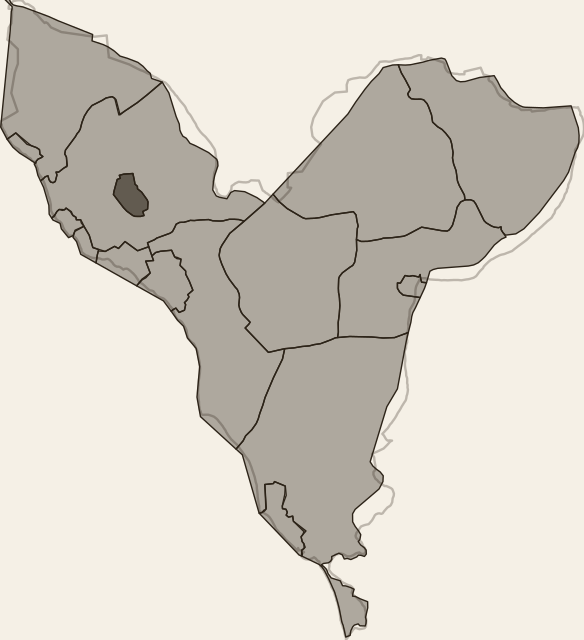
Communes and population (RGPH-5)
Method
Boundaries of the 16 communes from OpenStreetMap (ODbL); those of the rural communes predate 2014. Totals from the ANSD census, RGPH-5 2023 and RGPH 2013. The located share is the part of the population carried by villages placed on the map.
Access
Download ↓ View on map →Dataset
- Format
- GeoJSON
- Geometry
- Polygon
- Features
- 16
- Size
- 24 KB
- Geographic extent
- 14°03′N - 14°43′N · 17°09′W - 16°31′W
Statistics
- Median area
- 8,361 ha
- Total area
- 186,721 ha
Theme
Attribute fields
- key
- text
- name
- text
- pop_2013
- number
- pop_2023
- number
- growth_pct
- number
- located_2023
- number
- located_share
- number
- located_pct
- number
- residual_fallback
- text